
My first glimpse of Westport House was at low tide the day after I arrived.
I don’t know what that mechanism is. It looks like something for hauling – whether boats or cargo, I don’t know. I’m sure it was installed after Grainne’s time because it sits on the straightened edge of the Carrowbeg River which dates to the late 1700’s or early 1800’s.
Crucially for our story, Westport House is built on the ruined foundation of Cathair na Mart, meaning ‘the stone fort of the beeves.’ So now we know where it is.
The towers or houses of the chiefs were built at the mouths of rivers, which gave them fresh water to drink and transportation routes both inland and out to sea. The hilly and even mountainous land behind them supported cattle in the thousands!
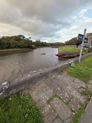
I think to be spacious, one has to leave open space. There is a lot of space left open here. In this photo you can just make out a little red roof to the left of the water in the distance. That’s the boat house. My grandfather, Lord Sligo’s motorman in the 1910’s (both on land and water), would have brought the boat out from there and over to the ramp you can see leading down to the river. There’s a beautiful, wooded area that the gentry could walk through around another lake to get there.
I assume everybody was in tune with the tides for their comings and goings. I have not caught the rhythm of them yet.
The Clew Bay Heritage Centre has a model of the grounds and town, built by the family over a few generations. Here’s a short reel of it: https://youtube.com/shorts/Gi6TDCutfps?feature=share
The walk I took this evening looked like this: https://youtube.com/shorts/3N4Ats5vs5o
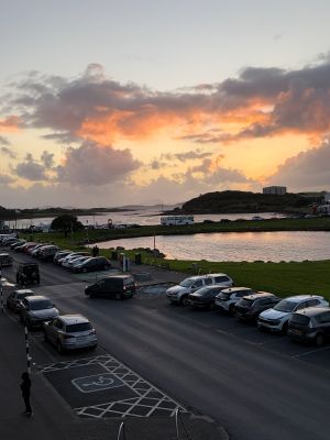
And on the way home, there was a gorgeous sunset
These posts do build on information included in earlier posts. If you would like to read them in order from the beginning, here is a link: https://thegrainneproject.com/260809-2/